Geoinformatics graduate specializing in cloud Earth observation, spatial machine learning, and interactive WebGIS architecture. Leveraging Google Earth Engine, PostGIS, and Python, I translate complex satellite physics and radar data into scalable, decision-ready spatial tools for environmental and urban resilience.

Applied geospatial engineering combining cloud Earth observation, spatial network algorithms, and interactive WebGIS interfaces.
Sentinel-1
SAR
Remote Sensing
Remote Sensing
Remote Sensing
Remote Sensing
Remote Sensing
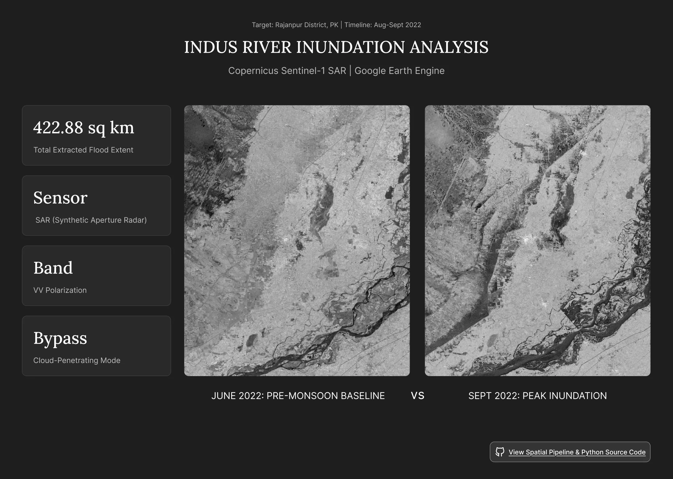
Cloud-based SAR analysis of the 2022 Pakistan floods using Google Earth Engine and Python to compare pre-flood and peak-flood surface-water conditions.
Landsat
NDVI
LST
QGIS
Remote Sensing
Urban Heat
Remote Sensing
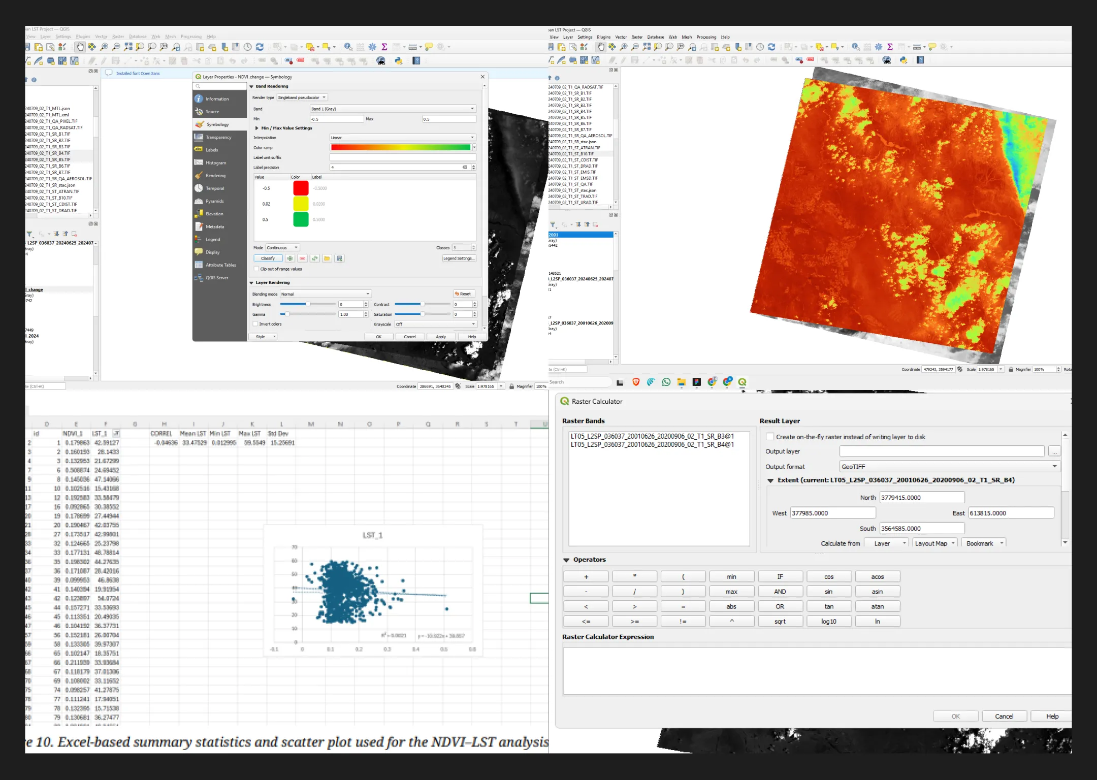
Landsat-based NDVI and land surface temperature analysis of Phoenix, Arizona, comparing vegetation and urban heat patterns between 2001 and 2024.
Python
OSMnx
NetworkX
OpenStreetMap
Network Analysis
Urban Analytics
Smart Cities
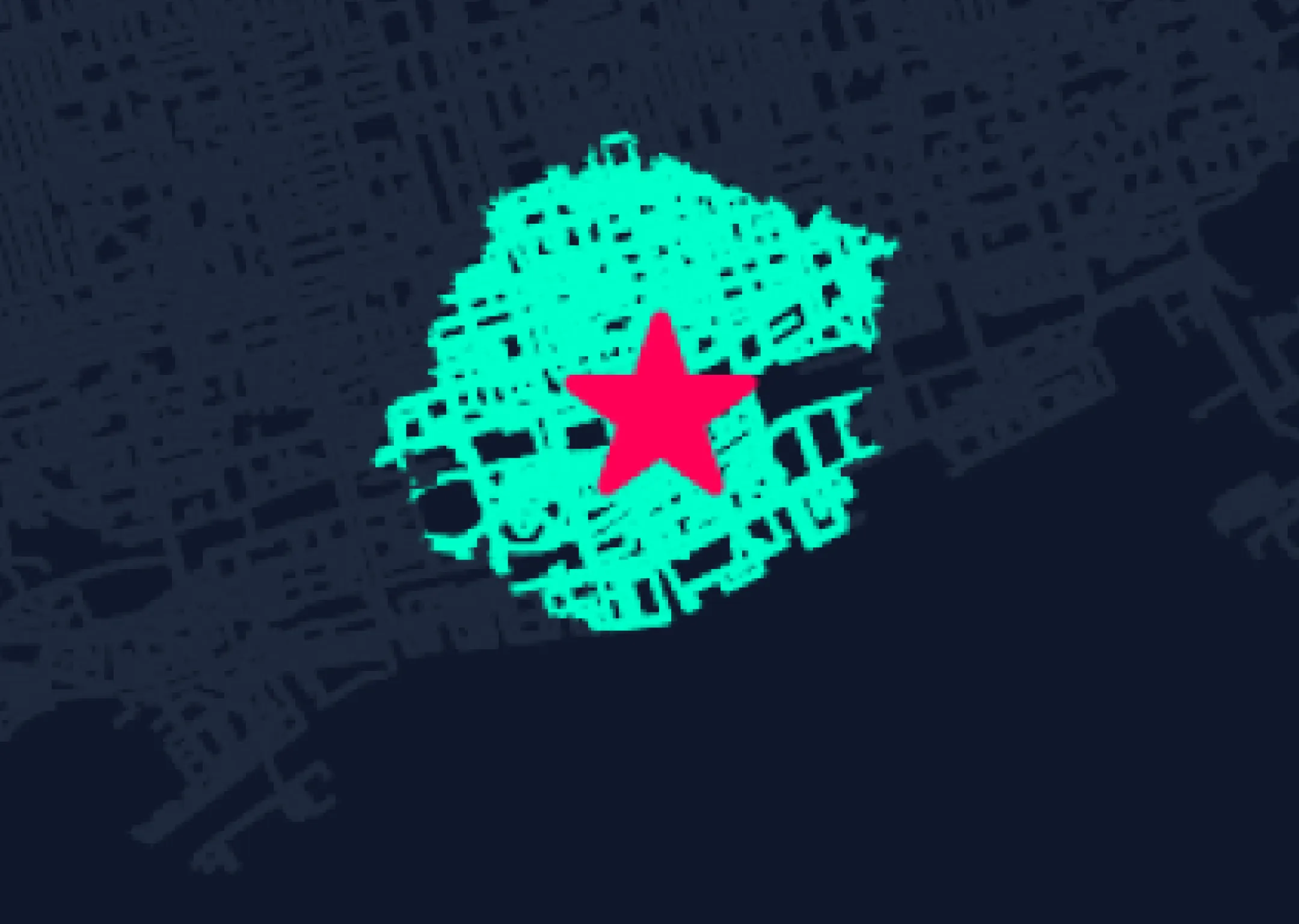
Built a Python-based pedestrian accessibility model for Toronto using OpenStreetMap data, OSMnx and NetworkX. The project models the street network around Union Station and calculates a 15-minute walking isochrone using graph-based routing and time-weighted street segments.
Landsat
LULC
NDVI
LST
Remote Sensing
Urbanization
Environmental GIS
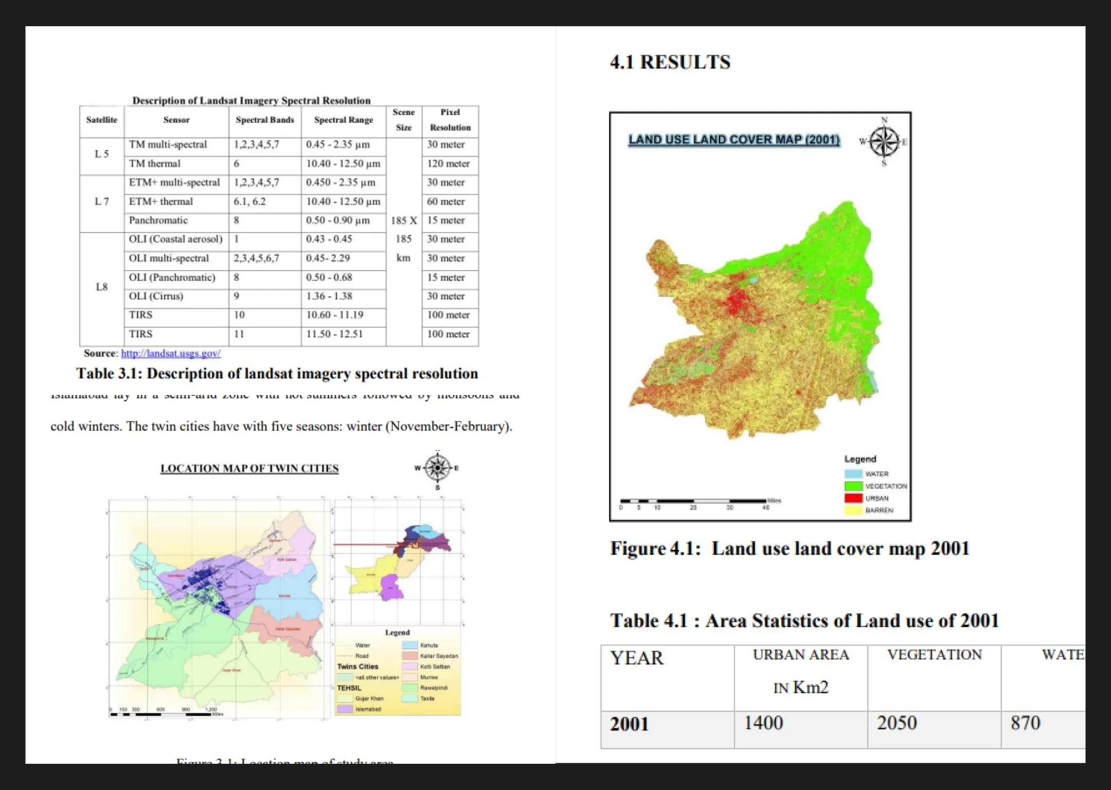
Undergraduate final-year research examining the effects of rapid urbanization on land surface temperature and green spaces across Islamabad and Rawalpindi. The study used multi-temporal Landsat imagery, LULC analysis, NDVI and LST to investigate urban growth and its environmental impacts between 2001 and 2021.